Description
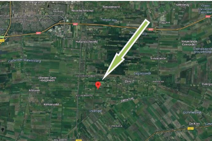
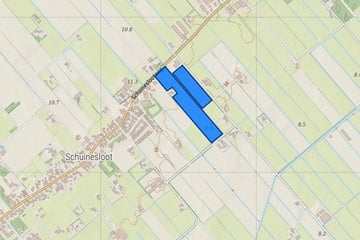
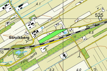
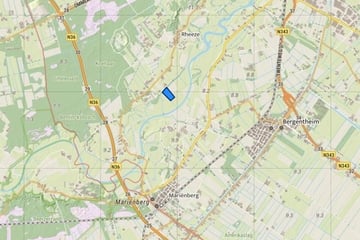
Landbouwgrond Ritmeesterweg / Warmondsweg / Brandligtswijk Elim
ca. 15.81.41 ha. landbouwgrond en 01.16.25 ha. bosgrond.
Kadastrale gegevens
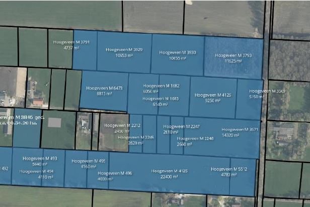
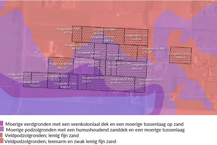
Hoogeveen M 3791 00.47.37 ha.
Hoogeveen M 3929 01.06.53 ha.
Hoogeveen M 3930 01.06.55 ha.
Hoogeveen M 3793 01.16.25 ha. (bosperceel)**
Hoogeveen M 6473 00.88.13 ha.
Hoogeveen M 1682 00.60.50 ha.
Hoogeveen M 1683 00.61.40 ha.
Hoogeveen M 4126 00.92.50 ha.
Hoogeveen M 3569 00.51.50 ha.*
Hoogeveen M 3846 00.54.20 ha. (gedeelte van perceel)
Hoogeveen M 2212 00.24.50 ha.
Hoogeveen M 2246 00.26.20 ha.
Hoogeveen M 2247 00.26.10 ha.
Hoogeveen M 2248 00.26.60 ha.
Hoogeveen M 3571 01.43.20 ha.*
Hoogeveen M 3273 00.34.90 ha.*
Hoogeveen M 492 00.75.10 ha.*
Hoogeveen M 493 00.56.40 ha.*
Hoogeveen M 494 00.41.10 ha.*
Hoogeveen M 495 00.41.60 ha.*
Hoogeveen M 496 00.40.30 ha.*
Hoogeveen M 4125 02.24.00 ha.*
Hoogeveen M 5512 00.47.83 ha.*
Hoogeveen M 4151 01.04.90 ha.
Totaal: 16.97.66 ha.
*Eigendom belast met Opstalrecht Nutsvoorzieningen op gedeelte van perceel.
**Verkoper kan afhankelijk van voorstel koper besluiten om het bosperceel niet te verkopen.
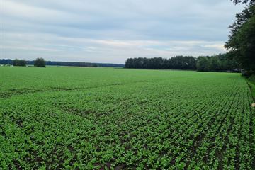
Ruim 16 hectare goed verkavelde percelen in mooie rechte blokken, hoogwaardige akkerbouwgrond met goede ontsluitingen naar de openbare weg, percelen hebben een goede watertoevoer voor beregening, daarnaast is in elk perceel blok een bron aanwezig.
Map
Map is loading...
Cadastral boundaries
Buildings
Travel time
Gain insight into the reachability of this object, for instance from a public transport station or a home address.
