Description
VERKOOP BIJ INSCHRIJVING
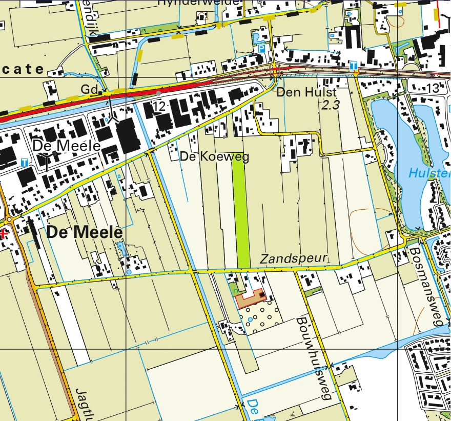
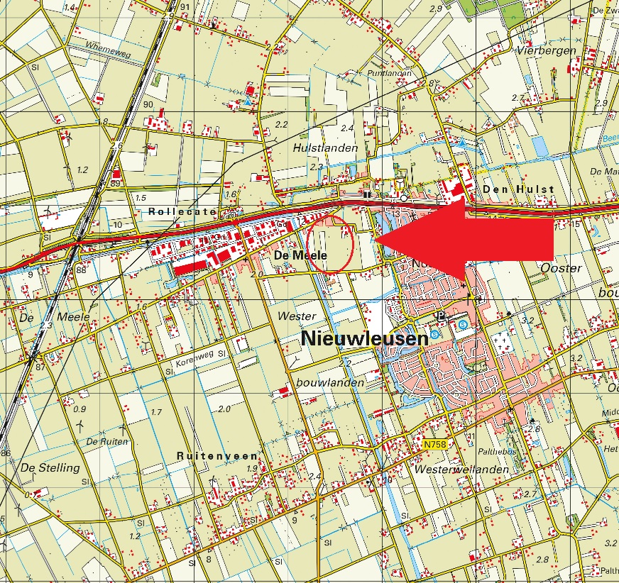
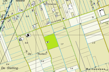
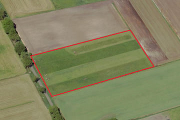
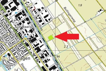
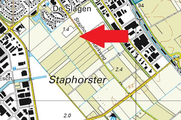
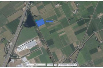
Omschrijving: Perceel cultuurgrond gelegen aan de Zandspeur te Nieuwleusen;
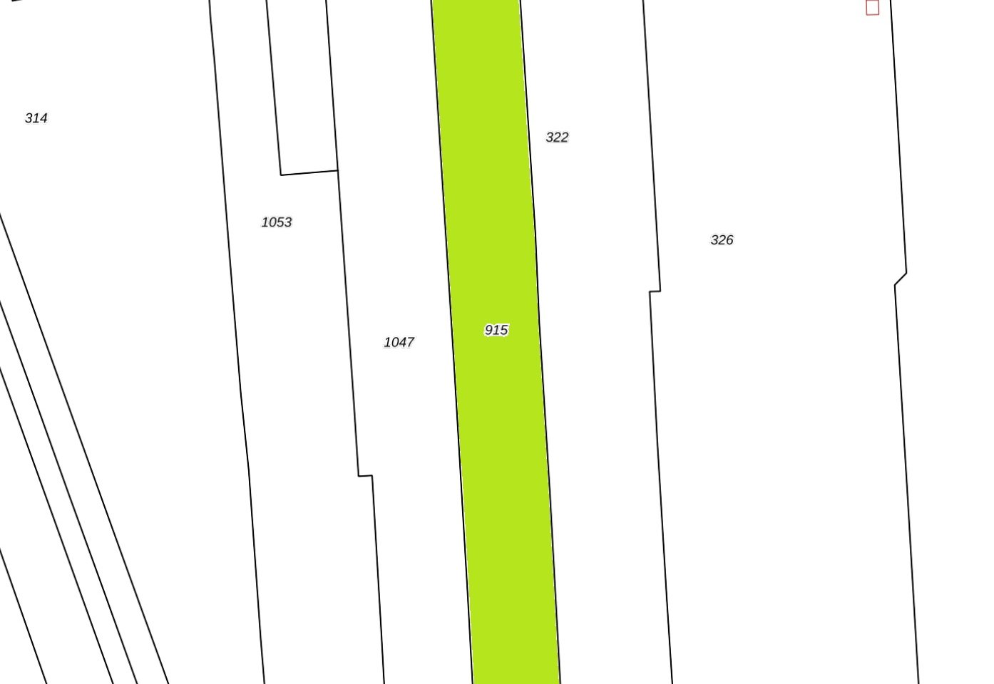
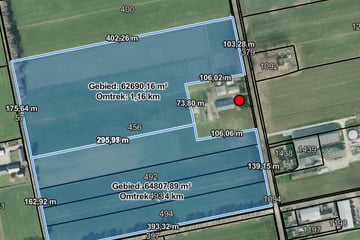
Oppervlakte: 02.00.36 ha;
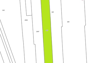
Kadastrale aanduiding: Gemeente Nieuwleusen, sectie O, nummer 915, groot 02 ha 00 are 36 ca;
Ruilverkaveling: Niet van toepassing;
Productierechten: Niet van toepassing;
Uitbetalingsrechten: Niet van toepassing;
Natura2000: Niet van toepassing;
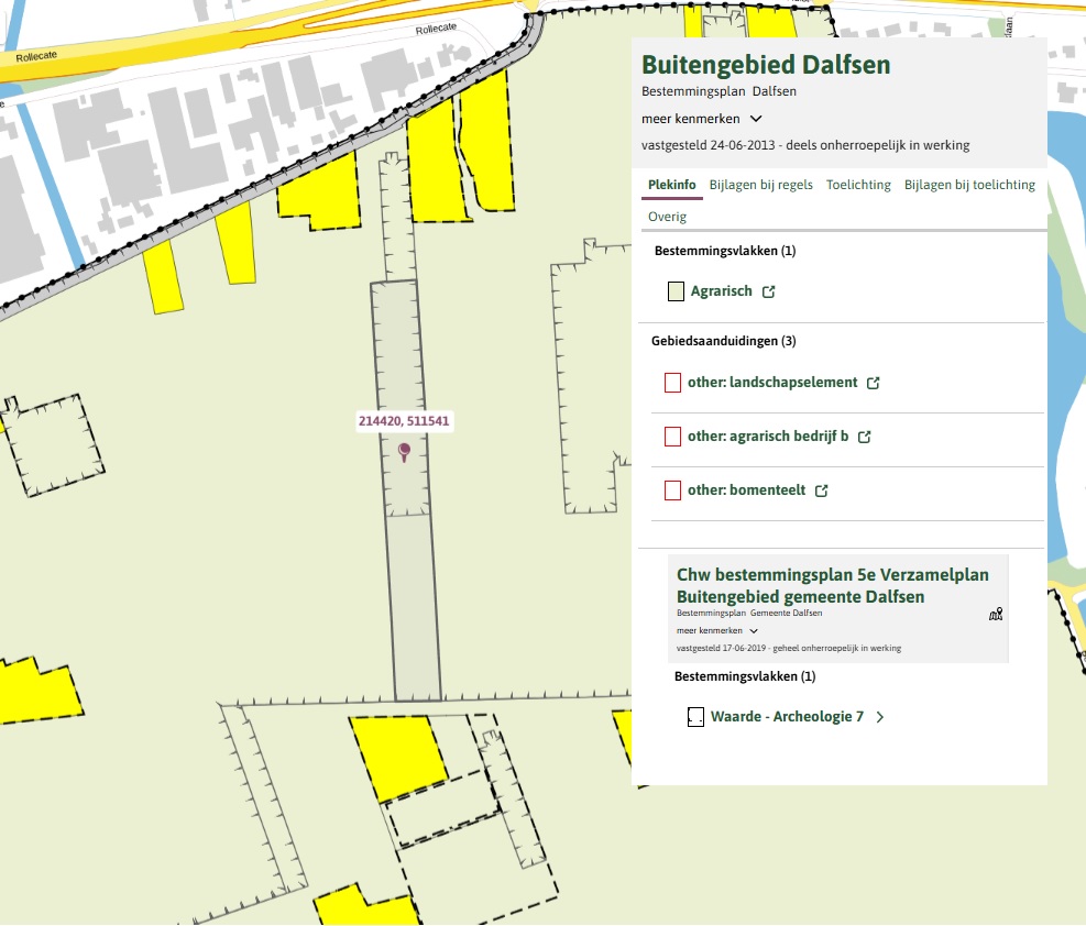
Bestemmingsplan: Enkelbestemming Agrarisch 2, Dubbelbestemming Waarde – Archeologie 7;
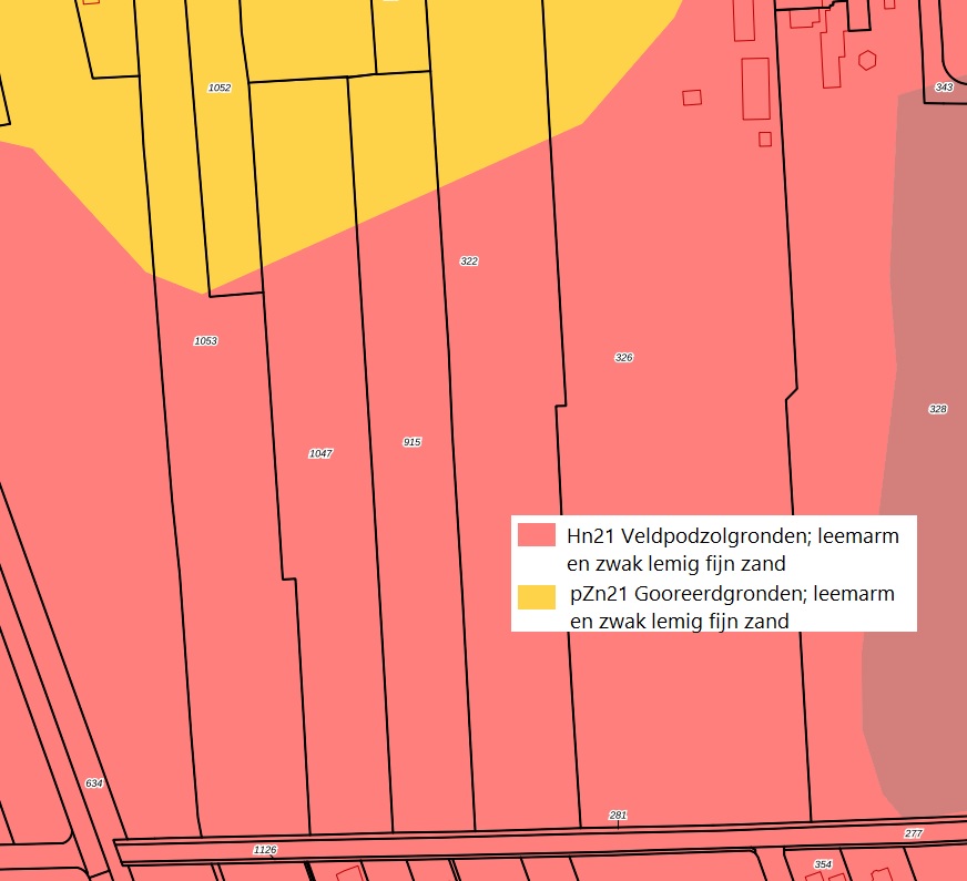
Bodem: Veldpodzolgronden en Gooreerdgronden;
Uiterste biedingsdatum: 13 februari 2025 - 12.00 uur
Stukken zijn op te vragen bij ons kantoor
Map
Map is loading...
Cadastral boundaries
Buildings
Travel time
Gain insight into the reachability of this object, for instance from a public transport station or a home address.
