Verkoopgeschiedenis
- Aangeboden sinds
- 19 december 2023
Omschrijving
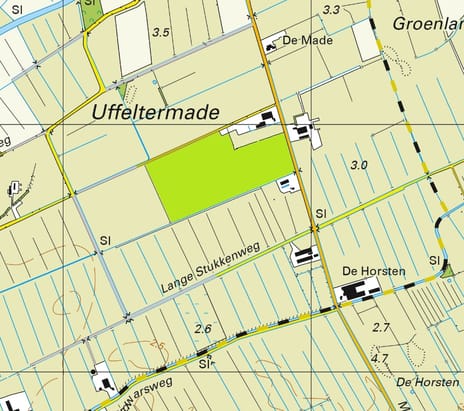
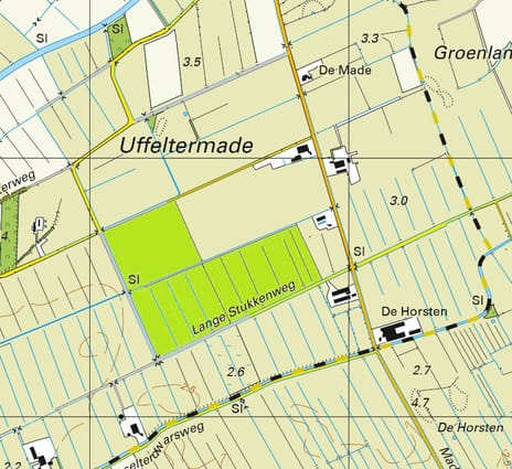
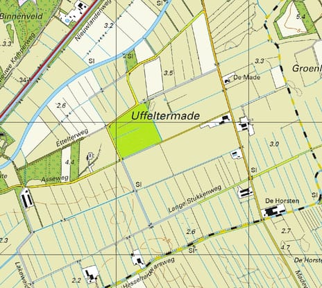
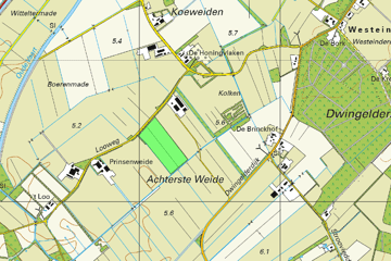
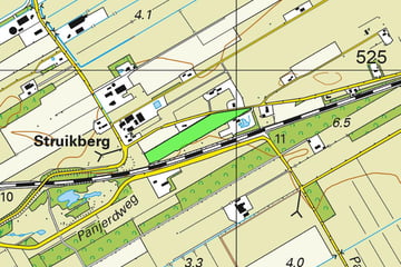
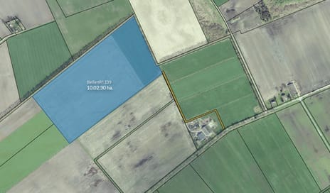
Ruinen L 941
Oppervlakte: 04.22.44 ha.
Grondsoort: Zand
Gewasrotatie: Blijvend Grasland
Gedeeltelijke verkoop in overleg mogelijk.
Grondwatertrap VI = H 40-80 L >120
Oppervlakte: 04.22.44 ha.
Grondsoort: Zand
Gewasrotatie: Blijvend Grasland
Gedeeltelijke verkoop in overleg mogelijk.
Grondwatertrap VI = H 40-80 L >120
Betrokken makelaar
Kaart
Kaart laden...
Kadastrale grens
Bebouwing
Reistijd
Krijg inzicht in de bereikbaarheid van dit object vanuit bijvoorbeeld een openbaar vervoer station of vanuit een adres.


