Description
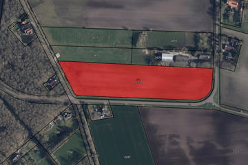
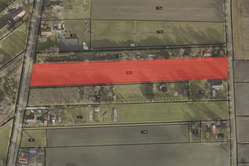
Strategisch gelegen perceel bouwland!
Totaal: 06.89.30 ha
Tegen de toekomstige uitbreiding van het dorp Ter Apel gelegen perceel bouwland.
De huidige bestemming is agrarisch.
Het perceel is thans in gebruik als bouwland. Het perceel is ontsloten via de Moersloot.
Volgens de bodemkaart van Nederland betreft het een perceel bestaande uit Beekeerdgrond.
Voor meer informatie kunt u contact opnemen met ons kantoor!
Map
Map is loading...
Cadastral boundaries
Buildings
Travel time
Gain insight into the reachability of this object, for instance from a public transport station or a home address.


