Sales history
- Listed since
- October 8, 2020
Description
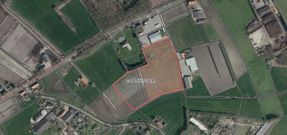
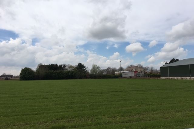
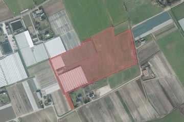
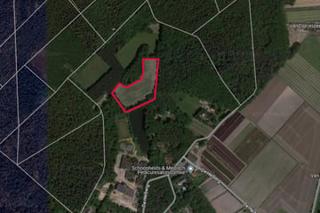
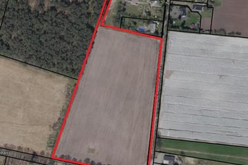
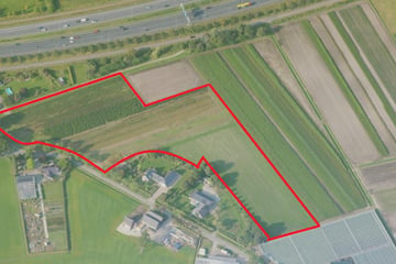
Percelen landbouwgrond aan Achtmaalseweg in Achtmaal
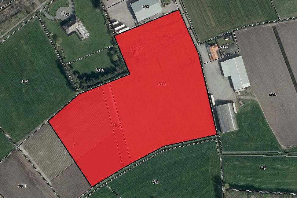
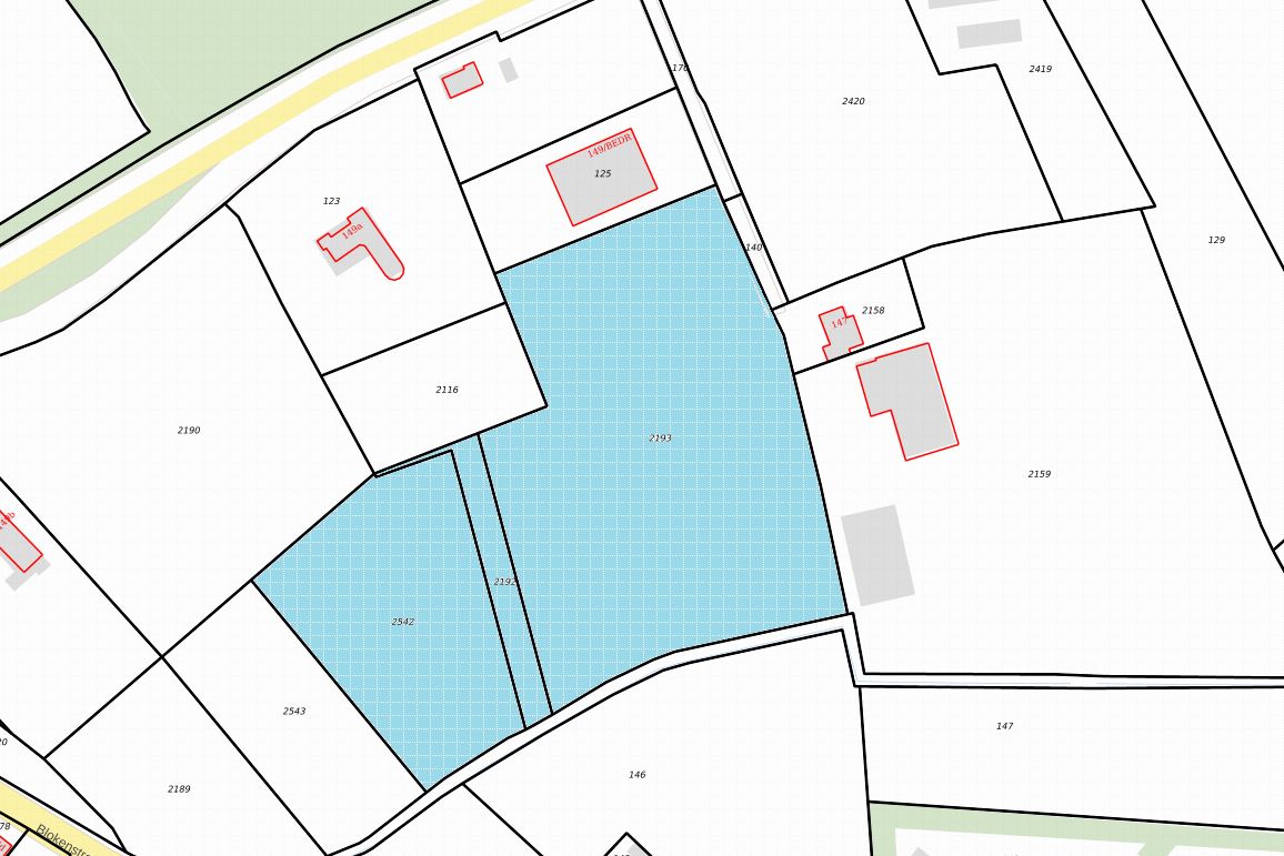
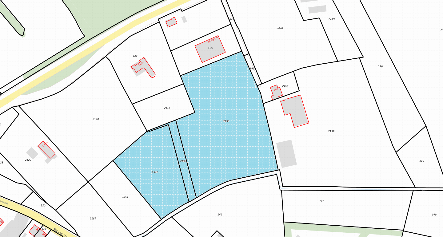
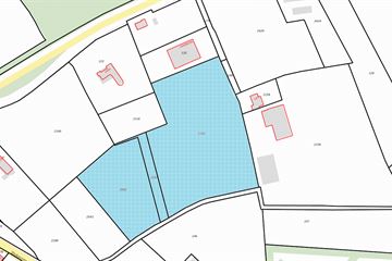
Kadastraal bekend: gemeente Zundert sectie T nummer 2192.
Kadastraal bekend: gemeente Zundert sectie T nummer 2193.
Kadastraal bekend: gemeente Zundert sectie T nummer 2542.
Totale oppervlakte: circa 2.66.20 ha.
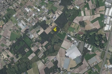
Het perceel is goed te bereiken vanaf de Achtmaalseweg.
Het perceel heeft de bestemming “Agrarisch” gelegen in het BOG gebied (boomteeltontwikkelingsgebied).
VRAAGPRIJS: Prijs op aanvraag
Voor meer informatie kunt u contact opnemen
met Ton Jochems van Van Hassel Makelaars o.g.
076-5975900 of
Involved real estate agent
Map
Map is loading...
Cadastral boundaries
Buildings
Travel time
Gain insight into the reachability of this object, for instance from a public transport station or a home address.
