Sales history
- Listed since
- January 15, 2024
Description
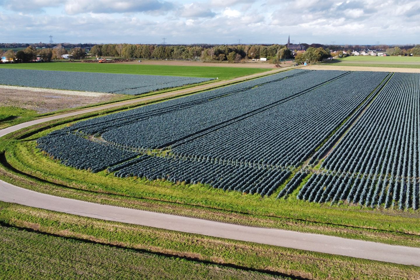
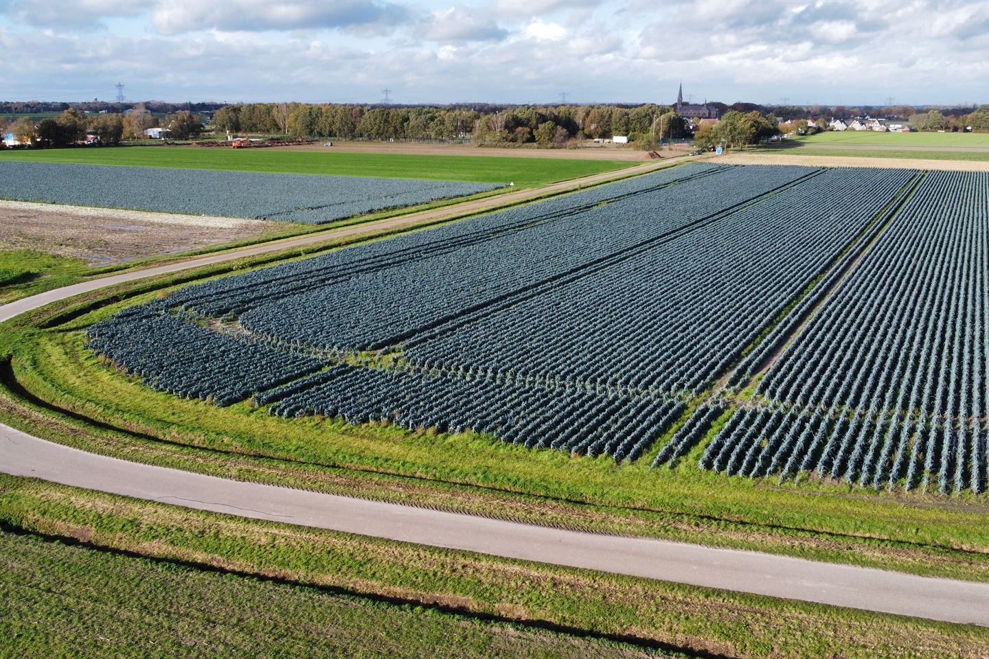
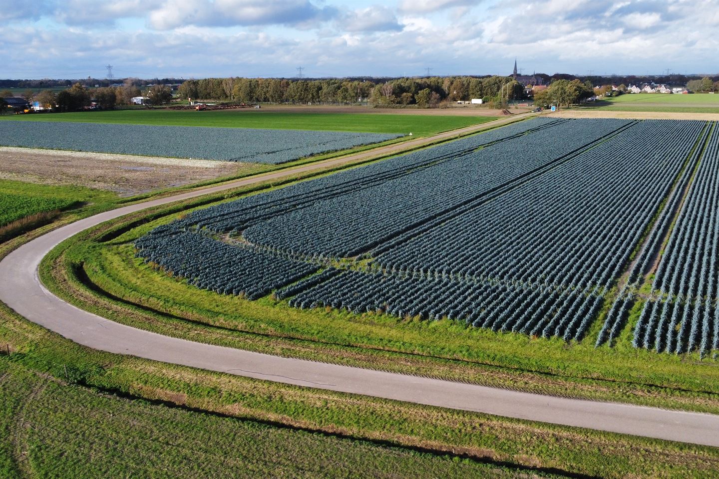
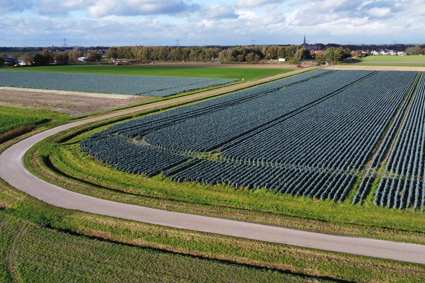
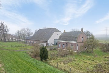
Agrarische percelen nabij Herstraat
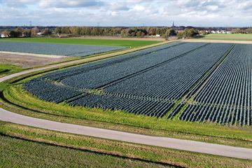
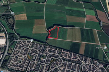
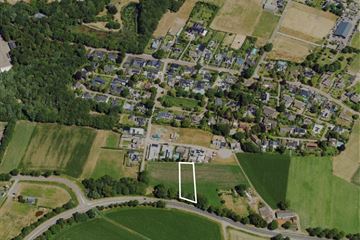
Deze percelen zandgrond met agrarische bestemming zijn gelegen aan de Herstraat te Den Hout.
De totale grootte van deze twee percelen bij elkaar is 2.78.90 hectare.
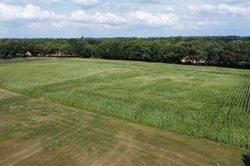
Momenteel zijn de percelen in gebruik als bouwland.
Kenmerken
Kadastraal bekend als:
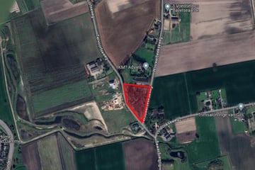
Gemeente Oosterhout, sectie U, nummer 179, grootte: 2.08.30 ha
Gemeente Oosterhout, sectie U, nummer 180, grootte: 0.70.60 ha
Type grond: Goede zandgrond
Bestemming: Agrarisch met waarde - Archeologie
Huidig gebruik: Bouwland
Ligging: In het buitengebied van Den Hout, goed bereikbaar via de Herstraat
Involved real estate agent
Map
Map is loading...
Cadastral boundaries
Buildings
Travel time
Gain insight into the reachability of this object, for instance from a public transport station or a home address.
