Sales history
- Listed since
- November 5, 2024
Description
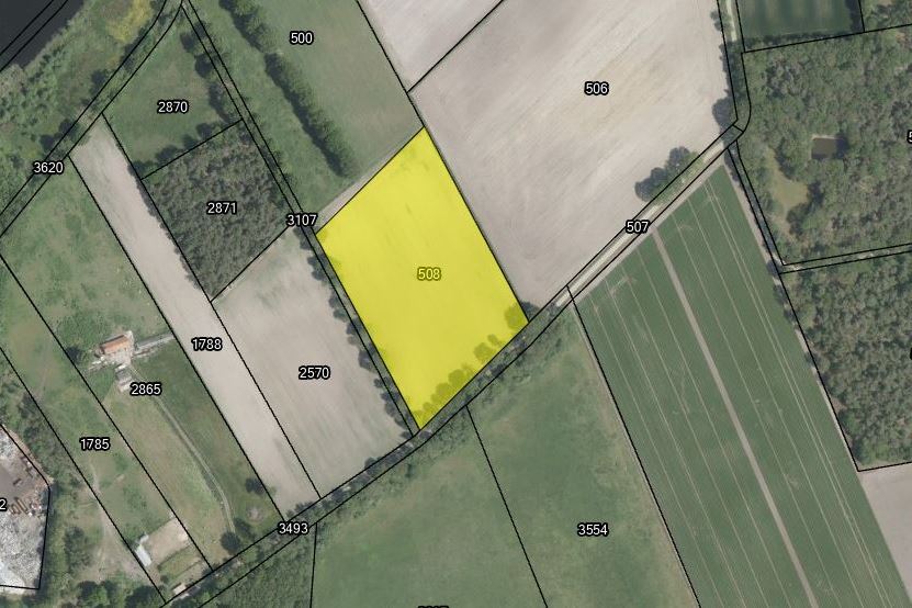
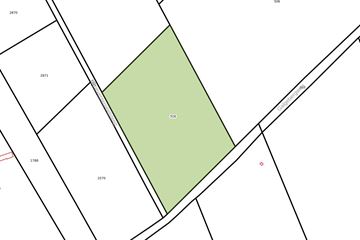
In het buitengebied van Weert bieden wij u een perceel landbouwgrond aan van 1.71.34 ha.
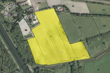
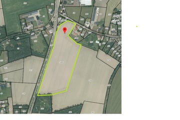
Het perceel is gelegen aan de Galgebergweg te Weert. De bodem bestaat uit zandgrond en heeft grondwatertrap VI.
De laatste jaren is er maïs geteeld op de grond.
Het jachtrecht is verhuurd t/m 05-02-2032.
Planologisch:
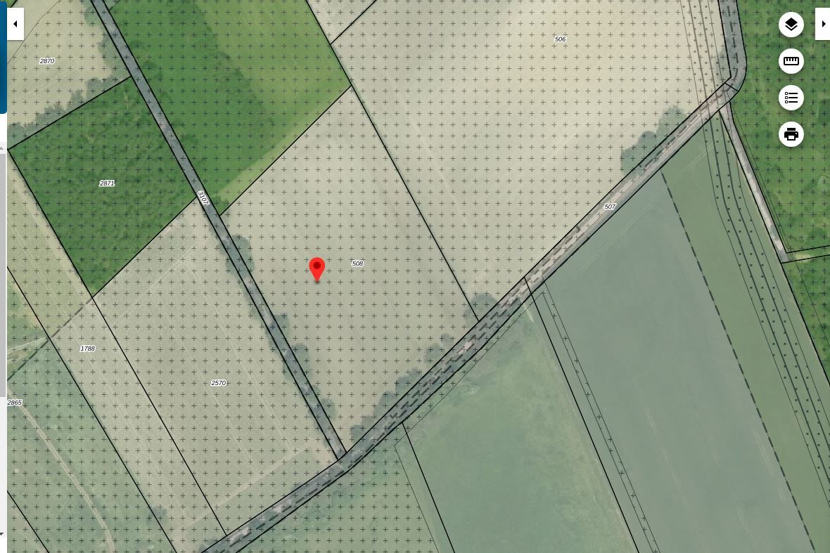
Het perceel is gelegen in het bestemmingsplan “Buitengebied 2011" van de gemeente Weert. Binnen dit bestemmingsplan heeft het perceel de enkelbestemming “Agrarisch" en de dubbelbestemming "Waarde - Archeologie middelhoog".
Kadastrale gegevens:
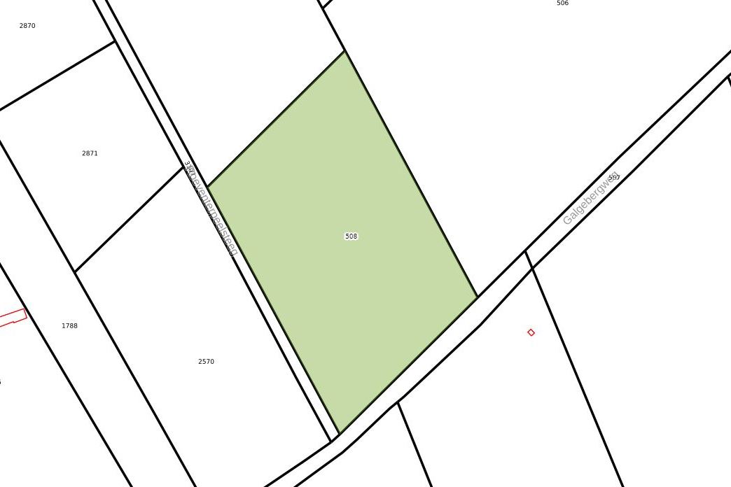
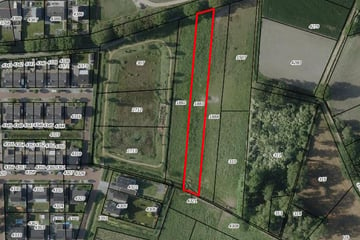
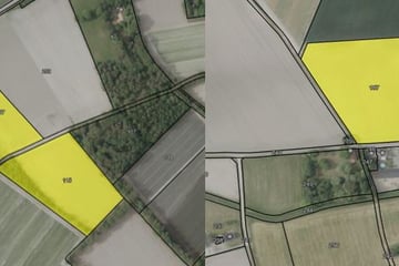
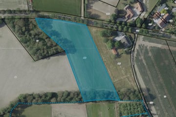
Kadastraal bekend als gemeente Weert, sectie AB, nummer 508, ter grootte van 1.71.34 ha.
Aanvaarding in overleg.
Involved real estate agent
Map
Map is loading...
Cadastral boundaries
Buildings
Travel time
Gain insight into the reachability of this object, for instance from a public transport station or a home address.
