Description
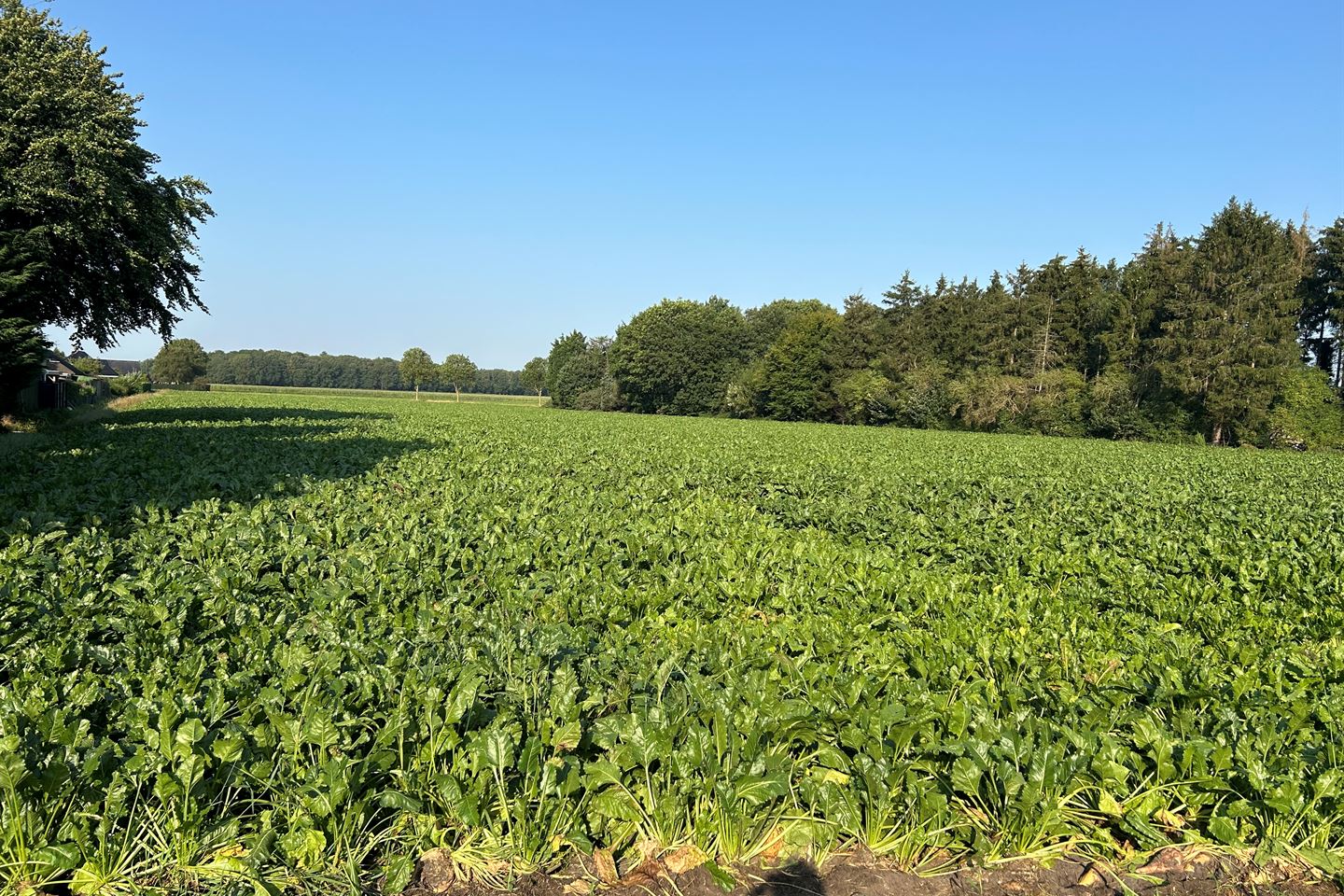
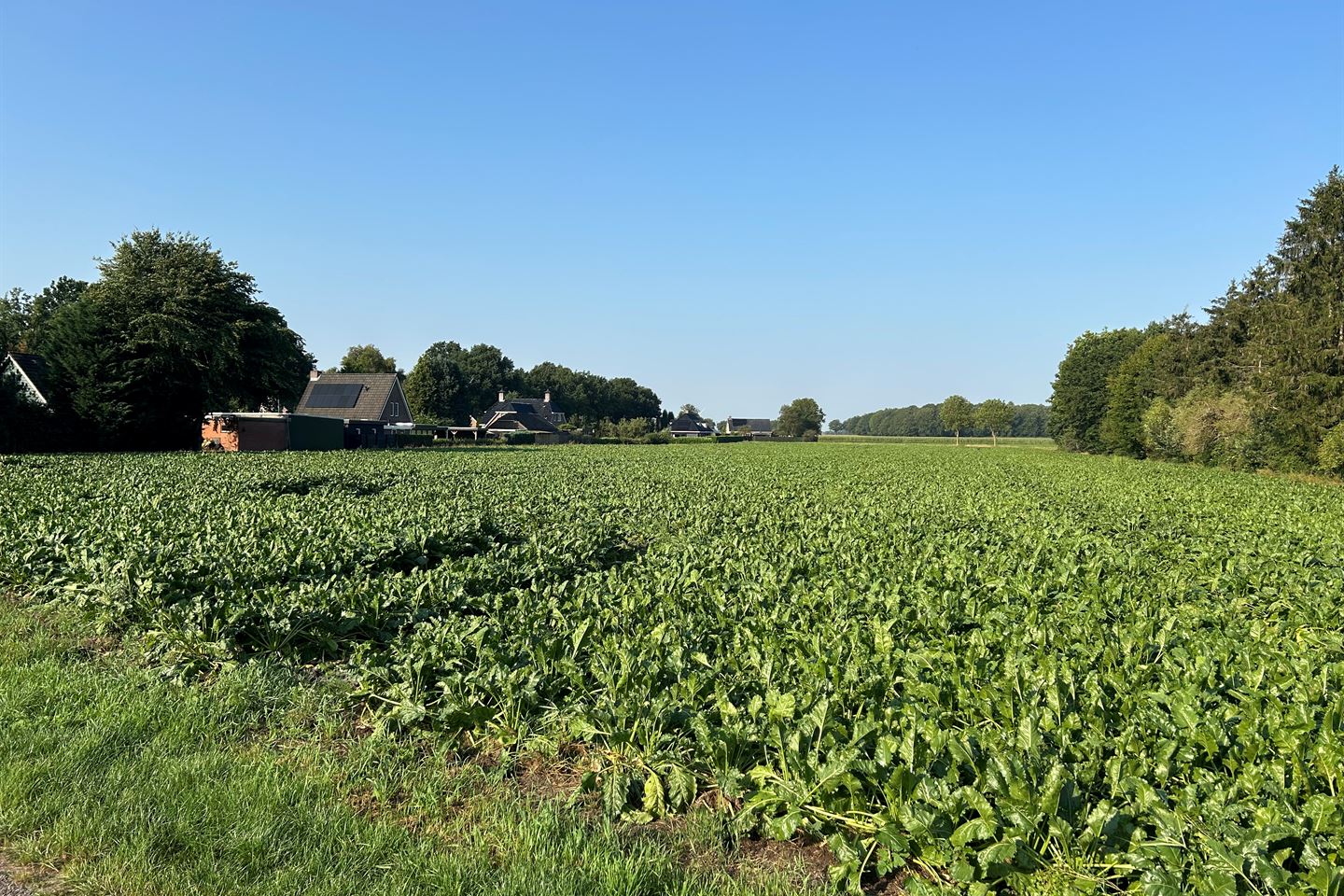
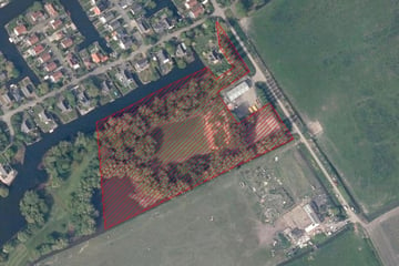
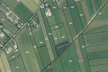
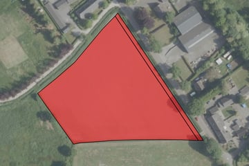
Het betreft een aantal aaneengesloten percelen van totaal 1 ha, 82a en 4 ca, met een ontsluiting op de Ontsluitingsweg.
Kadastraal aangeduid als Gemeente Winschoten, sectie E, nummers 1826, 1890, 279 en 1455; samen kadastraal groot 1 ha, 82a en 4 ca.
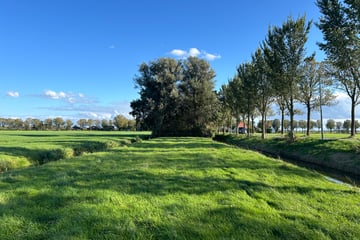
De grond is de laatste jaren als landbouwgrond in gebruik geweest. De huidige pachtovereenkomst kan jaarlijks worden opgezegd voor 01 november van het betreffende jaar.
Kadastraal aangeduid als Gemeente Winschoten, sectie E, nummers 1826, 1890, 279 en 1455; samen kadastraal groot 1 ha, 82a en 4 ca.
De grond is de laatste jaren als landbouwgrond in gebruik geweest. De huidige pachtovereenkomst kan jaarlijks worden opgezegd voor 01 november van het betreffende jaar.
Map
Map is loading...
Cadastral boundaries
Buildings
Travel time
Gain insight into the reachability of this object, for instance from a public transport station or a home address.
